
Magnitude 4.2 earthquake strikes Montana near Great Falls
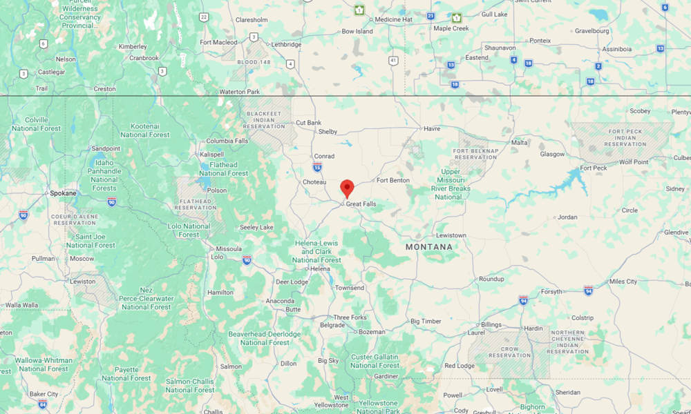
A magnitude 4.2 earthquake struck Montana, according to the United States Geological Survey (USGS). The epicenter was located near the city of Great Falls.
The quake struck at 12:41 p.m. Mountain time at a depth of about 14 miles, according to the USGS. The epicenter was located about 7.4 miles northeast of Great Falls, near Black Horse Lake.
More than 700 felt reports have been submitted by users to the USGS website, with most indicating weak to light shaking.

“An earthquake was just felt in Great Falls… we are checking into it now,” the National Weather Service office in Great Falls said in a post shortly after the quake.
Shaking was also reported in Shelby, Kalispell, and Montana’s capital, Helena, according to the USGS.
Montana has experienced significant earthquakes in the past, most notably near Helena in 1935, when a series of quakes up to magnitude 6.4 caused widespread damage in the state capital.
The strongest earthquake recorded in Montana was the 1959 Hebgen Lake earthquake, a magnitude 7.3 event near Yellowstone National Park that triggered massive landslides and killed 28 people.
The post Magnitude 4.2 earthquake strikes Montana near Great Falls appeared first on BNO News.