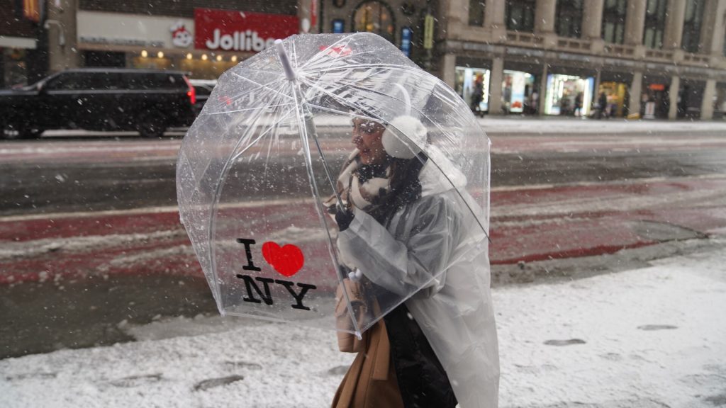
Heavy snow to target NYC as fast-moving storm eyes Friday night travel

A fast-moving winter storm is expected to bring New York City its most meaningful snowfall in more than three years, with impacts building late Friday and stretching into early Saturday. Forecasters say several inches of snow are likely across the metro area, raising travel concerns at the tail end of the holiday rush.
What’s coming, and when
According to the National Weather Service, snow is expected to begin late Friday afternoon, intensify Friday night, and taper by Saturday morning. The heaviest snowfall is likely overnight, with rates approaching an inch per hour at times.
Most forecasts call for 4 to 8 inches across New York City and nearby suburbs, with higher totals possible north and west of the city. If Central Park sees more than four inches, it would mark the city’s most significant accumulation since January 2022.
Why this one matters
New York has gone several winters without a truly disruptive snowstorm, making this system notable, even if it’s not expected to shut the city down. Meteorologists describe it as fast-moving but potent, capable of creating slick roads, reduced visibility, and airport delays during a busy travel window.

This story is featured in today’s Unbiased Updates. Watch the full episode here.
Officials have urged residents to plan ahead. Governor Kathy Hochul said travelers on Friday “may wish to rearrange” plans, while Mayor Eric Adams asked New Yorkers to avoid driving if they can once snow begins to fall.

Travel prep ramps up
State and city agencies are already mobilizing. New York plans to deploy more than 1,600 plow trucks, while the city’s sanitation department is pre-treating roads and staging salt spreaders ahead of the storm.
The Port Authority of New York and New Jersey, which expects roughly 15 million travelers to pass through regional airports, bridges, and tunnels during the holiday period, says it is monitoring conditions closely and advises travelers to check for delays before heading out.

What happens next
Snow should wind down by Saturday morning, but cold temperatures will linger, limiting melting and keeping roads slick. A brief warm-up is expected Sunday before another blast of Arctic air settles in early next week.
For now, forecasters stress timing is everything: Friday daytime errands should be manageable, but once snow ramps up Friday evening, travel conditions are expected to deteriorate quickly.
The post Heavy snow to target NYC as fast-moving storm eyes Friday night travel appeared first on Straight Arrow News.


