
Extreme heat scorches South, Midwest as Tampa hits all-time high
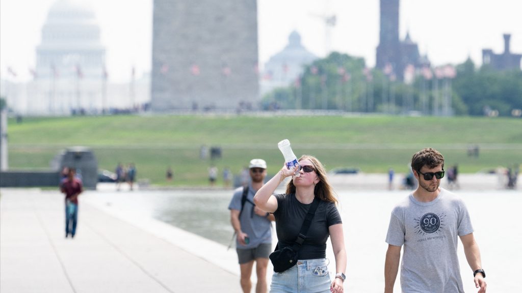
More than 163 million people across the U.S. are under heat alerts as dangerous temperatures grip much of the South and parts of the Midwest. The National Weather Service has issued advisories and warnings from central Florida through Virginia, with some areas expected to face extreme heat conditions through midweek. Forecasters expect heat indexes to exceed 110 degrees in parts of eastern North Carolina and South Carolina.
Major cities like Charlotte, Jacksonville and Tallahassee are forecasted to approach or break their daily temperature records. CBS News meteorologist Andrew Kozak reported that many areas will see temperatures 10 to 15 degrees above average, with the added humidity pushing “feels-like” values well into triple digits.
What’s causing the extreme temperatures?
A heat dome is driving the extreme temperatures, according to Iowa State atmospheric science professor William Gallus, who says a persistent high-pressure system traps hot air and causes the phenomenon. The National Weather Service warns the heat wave will offer little overnight relief, increasing health risks.
Cities from St. Louis to Minneapolis are experiencing temperatures near 100 degrees, with the St. Louis area expected to see heat indexes around 110 through Tuesday.
Record-breaking heat
Tampa hit 100 on Sunday, July 27, breaking its all-time heat record since recordkeeping began in 1890, FOX Weather reported. Meteorologists expect temperatures to reach or exceed 100 in cities across the Southeast this week, including Charlotte, Nashville and Orlando. Officials in Charlotte and the surrounding area urged residents to stay indoors, use cooling centers and avoid midday sun as heat indices soar past 110.
What’s happening in the Northeast?
While the South swelters, the Northeast is preparing for a change in weather. AccuWeather and the Weather Channel forecast that cooler air will move into the region by Thursday, with daytime highs dropping into the 70s and some areas cooling by up to 15 degrees. The National Weather Service noted that unusually high lows in the upper 70s could prolong heat stress.
When will relief arrive?
Cooler air is beginning to push into the Midwest, with many areas expected to fall into the mid-to-upper 70s by Thursday — a drop of 10 to 15 degrees in just a few days.
The forecast shows that the Northeast will experience similar relief. The Southeast may start to cool by the weekend as the cold front shifts farther south.
August hazards ahead
Looking ahead, the National Weather Service projects moderate to slight risks of heavy precipitation across the Southeast, Mid-Atlantic and Mississippi Valley from August 2-5. Flash flooding is possible in the lower Missouri River Basin due to saturated ground and new rainfall. A stalled front along the Eastern Seaboard could extend precipitation into the Gulf states.
Meanwhile, forecasters warn of elevated wind risks in much of the western U.S. from August 2–4, particularly near the Pacific Coast, raising wildfire concerns. While they expect temperatures to rise in the Interior West, they predict limited chances of extreme heat hazards in early August.